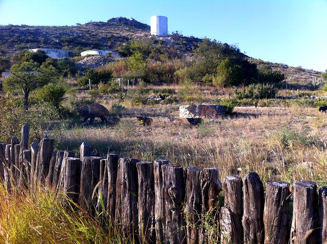
Javelina diorama
Here in Sanderson.
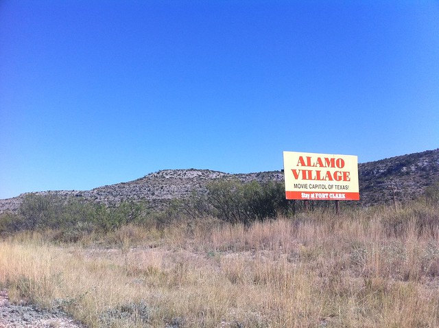
I’m pretty sure they mean something other than what I think of when I think of movies at the Alamo Village
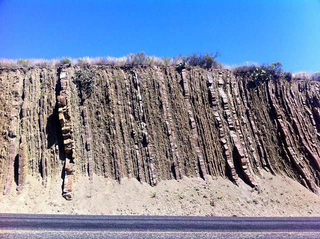
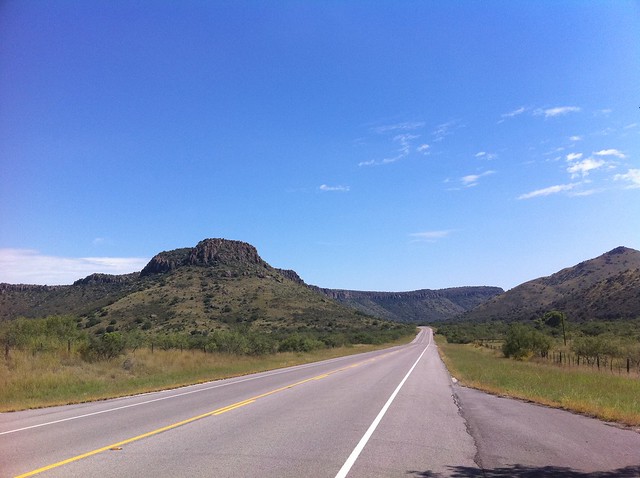
I don’t know much about geology, but I do know that the way blasting has exposed these strata pushed perpendicular is pretty cool
In Sanderson TX. Done for the day. Time to get clean and get fed.
Made ok time into Marathon. Stopping for lunch, then on to Sanderson.
[sgpx gpx=”/content/gpx/st2010_16.gpx”]
Started: Oct 3, 2010 12:35:07
Ride Time: 3:20:14
Stopped Time: 1:02:03
Distance: 45.29 miles
Average: 13.57 miles/h
Fastest Speed: 104.86 miles/h
Climb: 3618 feet
Calories: 1533
When I went out and looked at the trike this morning, I discovered the rear tire had gone flat, and judging by the wear on the tire, I had been riding on low pressure for some time. So add that to the factors that slowed me down yesterday.
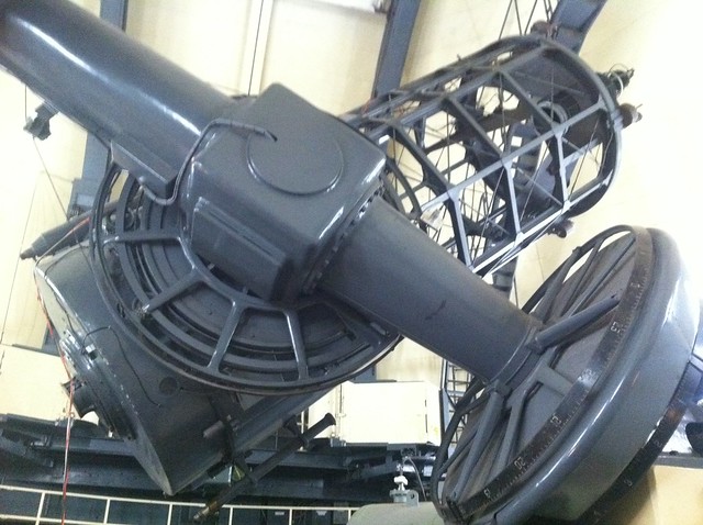
Despite a solid night’s sleep, I was way too beat to put in a long day’s riding today. Which was fine. I got off to a late start at about 1:00 pm because my host John gave me a tour of the telescopes, which was fascinating. John’s job is on the engineering side—keeping the telescopes working properly. I had never appreciated how much engineering goes into making those things work, but the numbers are pretty astounding. The 107″ mirror by itself weighs 9000 lb, and needs to be removed and re-aluminized once a year, which is all done on-site using a motley array of equipment that includes ultra-low pressure vacuum pumps and wading pools. The whole suspended telescope assembly weighs 109,000 lb, and needs to be able to align on and track stars accurately. This can all be done with surprisingly little equipment, but even the slightest mechanical imperfections will affect astronomical observations.
John’s academic background is in geophysics, and he was able to tell me the life story of every mountaintop we could see up there. I’ve never had a strong foothold in geology, so I couldn’t quite keep up, but it seems like a great place for someone with an interest in that. Despite that background, John seems to be a tinkerer at heart, and loves the opportunity to work on those big machines. I had a great time getting the tour from him, and also just chatting with him and his wife Deb. And also visiting with their many pets.
So, like I said, off to a late start. It was downhill all the way to Fort Davis (which made my wrecked legs happy), where I got soup and a sandwich at the local hippy-compliant grocery and contemplated my next move. Alpine was the only town it was reasonable for me to try to reach. There were a couple of Warm Showers hosts there, who I called. One was not able to accommodate me; the other was, but it sounded a bit like I’d be imposing. Still, we agreed that I’d stay with him. He wasn’t going to be home for hours, so I had plenty of time to get to Alpine.
I took that time, riding slowly, and still arrived in town well before he did. So I rode around for a while. Came upon a shop serving ice cream and raspas. Got to talking with a guy there, Ron, who had also ridden the Southern Tier on a recumbent. There was a music jam happening at a little covered space a couple of doors down. Lots of folks were hanging out. Ron introduced me around. Someone put a beer in my hands. I met Ron’s girlfriend Emmie and her old friend Esther, who was from Austin and happened to be with Max Nofziger. I had seen him and thought “that guy looks exactly like Max Nofziger.” Small world.
I wound up inviting myself over to Ron and Emmie’s place, which is where I am now.
I know that other cyclotourists have said they have more fun on tours when they ride short daily distances and get to just hang out. I still enjoy putting in long miles (up to a point), but I know what they’re getting at.
Tomorrow will probably be an 80-miler that will put me into Sanderson. If I can manage it, I’ll ride to Del Rio the day after that: it’s well over 100 miles, but it’s mostly downhill. It’s also a milestone because it’s the end of Section 3. And Austin is in the middle of Section 4.
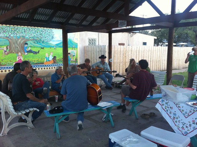
The blonde woman toward the back, Phyllis, organizes this twice a year. I just happened to be here on the right day. One of the musicians was local celebrity Bake Turner, who played on the Super Bowl III winning Jets with Joe Namath back in the day.